FunnyHat.Club
Path Profile
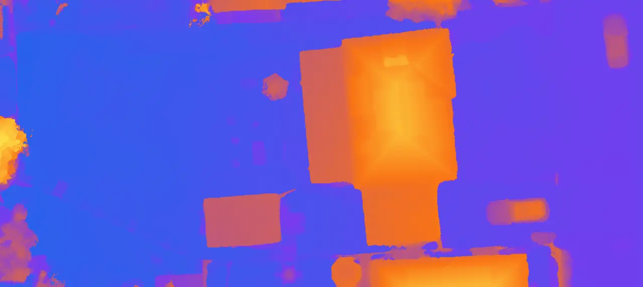
Live web app- Upload a GeoTIFF DEM
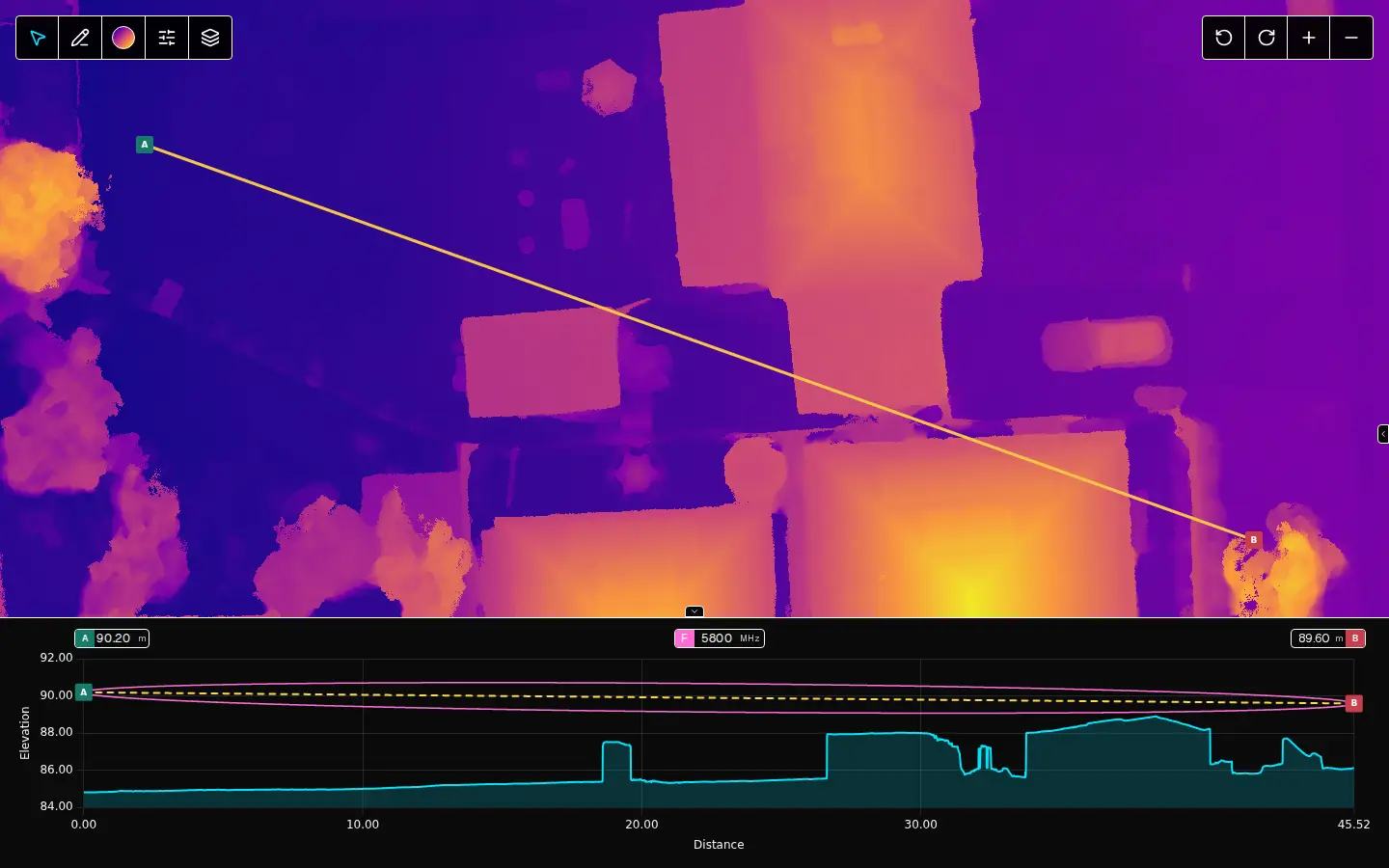
- Click A, then B
- Read the profile, check the Fresnel clearance
- Export CSV
Upload a GeoTIFF elevation model, draw a path across it and get the elevation profile along that path. It draws the line of sight and the Fresnel zones over the profile, which is what you need to know before you put a radio link between two hills.
The web app takes rasters up to 25 GiB and uploads them straight from your browser.
The hosted version records what you do, including the files you upload, and tells you so when you open it. I want to see how people use it.